Walking on Marettimo: the island's trails
Marettimo has 10 waymarked routes and they all start from the village, a few minutes' walk from the residence: from 40 minutes to the Case Romane to 2 hours 45 to Cala Bianca. There is also a coastal path to Cala Cretazzo.
Trail map
Tap a route number: the path is drawn from the village to the end point, with the stops, the length and the average time.
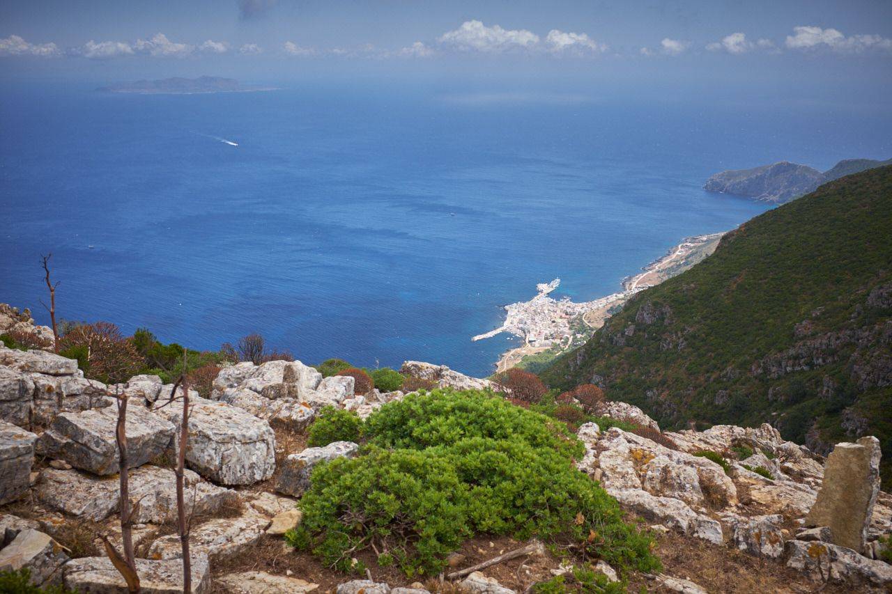
Route 3
Pizzo Falcone
From Case Romane the trail climbs to the highest peak on the island, 686 m.
- Getting there
- On foot, starting from the village
- Stages
- Village, Case Romane, Craparizza, Pizzo Falcone
- Length
- 6.5 km
- Average time
- 2 h
- Difficulty
- Moderate
Routes, times and difficulty from the map «Isola di Marettimo» by the Comune di Favignana, © Associazione C.S.R.T. Marettimo, May 2026, reproduction prohibited. Outline and paths: data © OpenStreetMap contributors (ODbL).
Marettimo’s trails: length, time and difficulty
Marettimo has 10 marked trails, all starting from the village, a few minutes’ walk from the residence. They range from 3 to 8.5 km. The easiest is Calvario and Case Romane (3 km, 40 min); the longest and hardest are Taurro and Punta Troia (8 km) and Cala Bianca (8.5 km). An eleventh trail, not numbered on the map, follows the south coast to Cala Cretazzo.
| No. | Trail | Stages | Length | Average time | Difficulty |
|---|---|---|---|---|---|
| 1 | Calvario and Case Romane | Village, cemetery, Calvario, iron bridge, Case Romane | 3 km | 40 min | Easy |
| 2 | Punta Troia Castle | Village, Punta Troia Castle | 4.5 km | 1 h 40 min | Moderate |
| 3 | Pizzo Falcone | Village, Case Romane, Craparizza, Pizzo Falcone | 6.5 km | 2 h | Moderate |
| 4 | Semaforo | Village, Case Romane, Portella Anzini, Semaforo | 6 km | 1 h 50 min | Moderate |
| 5 | Punta Libeccio Lighthouse | Village, Carcaredda, Punta Libeccio lighthouse | 6 km | 2 h | Easy |
| 6 | Punta Basano | Village, cemetery, Punta Basano | 4 km | 1 h | Moderate |
| 7 | Taurro and Punta Troia | Village, Case Romane, Taurro, Punta Troia Castle | 8 km | 2 h 40 min | Hard |
| 8 | Semaforo and Carrello | Village, Case Romane, Semaforo, Carrello | 7.5 km | 2 h 10 min | Moderate |
| 9 | Carcaredda | Village, Case Romane, picnic area, Carcaredda | 6 km | 1 h 15 min | Easy |
| 10 | Cala Bianca | Village, Portella Madonnuzza, Cala Bianca | 8.5 km | 2 h 45 min | Hard |
| 11 | Cala Cretazzo | Village, Carcaredda, Cala Cretazzo | 4.3 km | 2 h | Moderate |
Trails, times and difficulty from the map «Isola di Marettimo» by the Comune di Favignana, © Associazione C.S.R.T. Marettimo, May 2026. Trail 11 to Cala Cretazzo is not numbered on the map: length measured on OpenStreetMap, time and difficulty approximate.
When to go and how to plan
The best months for walking are spring and autumn. The trails can also be walked with a guide and with donkeys: ask at reception or on WhatsApp.