Marettimo: a guide to the westernmost of the Egadi Islands
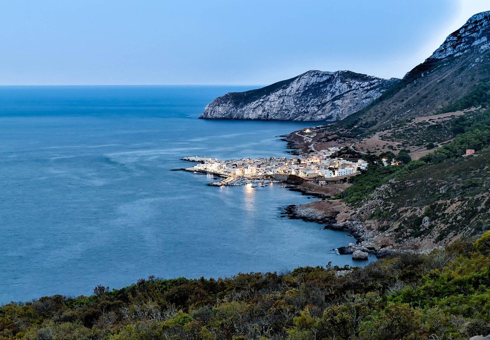
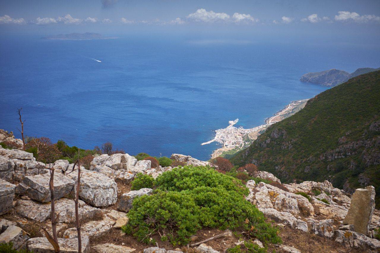
Marettimo is the most distant and the most mountainous of the Egadi Islands, off the coast of Trapani. There are no cars, there is only one village and the island is part of the Egadi Islands Marine Protected Area.
Where we are on the island
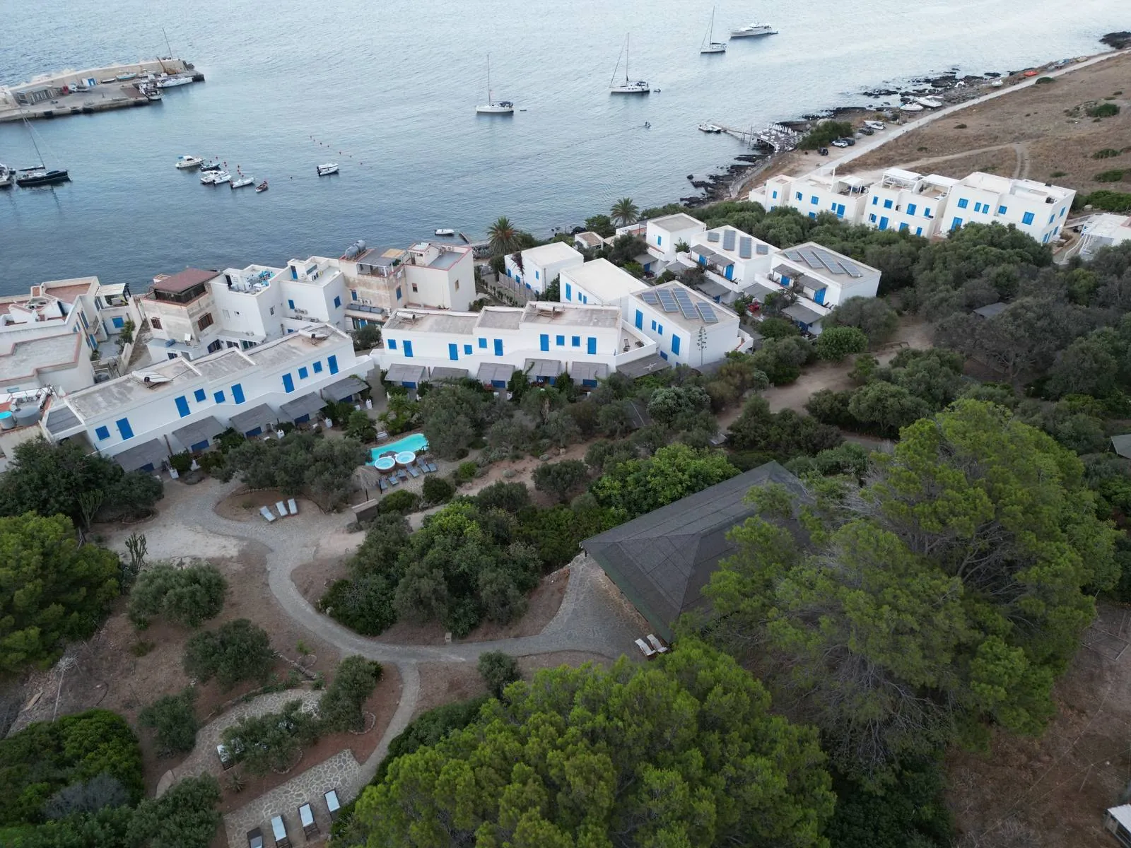
The residence is on the east coast, by the sea, away from the village centre and a few minutes' walk from the harbour. Tap a point to see the place. In Trails, tap a route number and the path is drawn from the village to the destination.
Marettimo Residence
At Via Telegrafo 3, on the east coast of the island, by the sea and away from the village centre. Scalo Nuovo, where hydrofoils and ferries arrive, is a few minutes’ walk away.
- Getting there
- On foot from the harbour
Routes, times and difficulty from the map «Isola di Marettimo» by the Comune di Favignana, © Associazione C.S.R.T. Marettimo, May 2026, reproduction prohibited. Outline and paths: data © OpenStreetMap contributors (ODbL).
Marettimo at a glance
in area
Monte Falcone, the highest peak
of coastline, with caves and coves
and no cars on the roads
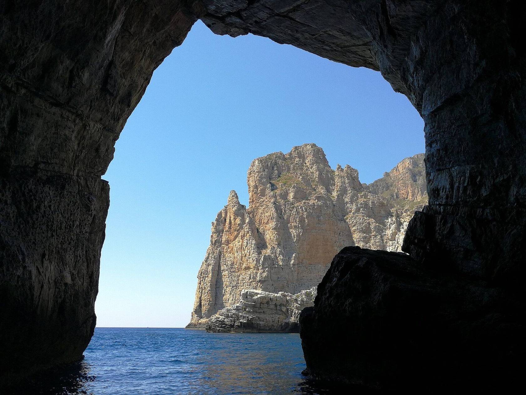
Sea, caves and coves
The coast of Marettimo is full of caves and coves, reached mainly by boat. The boat tour of the island leaves from the harbour with Marettimo’s boatmen and stops at the best-known caves; book it at the residence reception or on WhatsApp.
The seabed is part of the Egadi Islands Marine Protected Area.
Trails and trekking
The interior of the island is mountainous and crossed by trails. One trail climbs to Pizzo Falcone, the highest peak, at 686 metres. Others lead to the coves and to the Castello di Punta Troia.
The best months for walking are spring and autumn. For the sea, June to September.
Trail map and table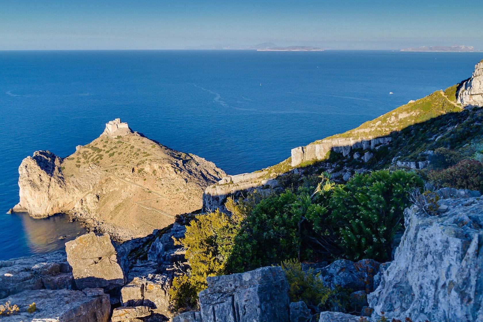
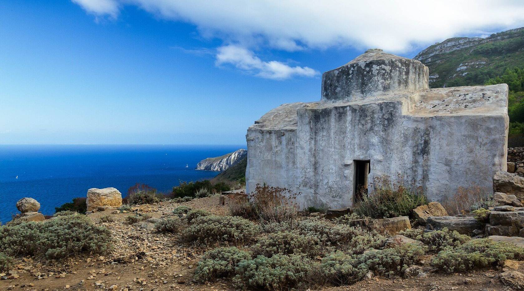
History of Marettimo
The ancient Greeks called Marettimo Hierà Nésos, the sacred island. On the island are the Case Romane, with a small Norman-era church, and the Castello di Punta Troia.